
Thank you for supporting this site ❤️
Make a donation
Make a donation
Opatów County topographic map
Click on the map to display elevation.
Thank you for supporting this site ❤️
Make a donation
Make a donation
About this map
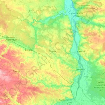
Name: Opatów County topographic map, elevation, terrain.
Location: Opatów County, Holy Cross Voivodeship, Poland (50.67977 21.13134 51.07802 21.83581)
Average elevation: 194 m
Minimum elevation: 122 m
Maximum elevation: 339 m
Thank you for supporting this site ❤️
Make a donation
Make a donation
Other topographic maps
Click on a map to view its topography, its elevation and its terrain.