
Thank you for supporting this site ❤️
Make a donation
Make a donation
Chirundu topographic map
Click on the map to display elevation.
Thank you for supporting this site ❤️
Make a donation
Make a donation
About this map
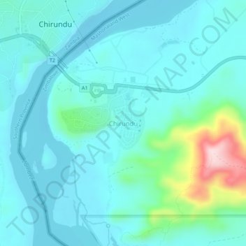
Name: Chirundu topographic map, elevation, terrain.
Location: Chirundu, Hurungwe, Mashonaland West Province, Zimbabwe (-16.06813 28.84298 -16.02813 28.88298)
Average elevation: 411 m
Minimum elevation: 364 m
Maximum elevation: 654 m
Thank you for supporting this site ❤️
Make a donation
Make a donation