
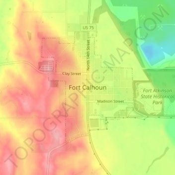
Fort Calhoun topographic map
Interactive map
Click on the map to display elevation.
About this map
Name: Fort Calhoun topographic map, elevation, terrain.
Average elevation: 337 m
Minimum elevation: 263 m
Maximum elevation: 387 m
Other topographic maps
Click on a map to view its topography, its elevation and its terrain.
Herman
United States > Nebraska > Washington County
Herman, Washington County, Nebraska, United States
Average elevation: 320 m
Blair
United States > Nebraska > Washington County
Blair, Washington County, Nebraska, United States
Average elevation: 343 m