
Witbank topographic map
Click on the map to display elevation.
About this map
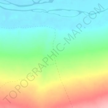
Name: Witbank topographic map, elevation, terrain.
Average elevation: 285 m
Minimum elevation: 233 m
Maximum elevation: 375 m
Other topographic maps
Click on a map to view its topography, its elevation and its terrain.
Pofadder
South Africa > Northern Cape > Namakwa District Municipality > Khâi-Ma Local Municipality
Average elevation: 997 m
Onseepkans
South Africa > Northern Cape > Namakwa District Municipality > Khâi-Ma Local Municipality
Average elevation: 408 m
Aggeneys
South Africa > Northern Cape > Namakwa District Municipality > Khâi-Ma Local Municipality
Average elevation: 884 m
Pofadder
South Africa > Northern Cape > Namakwa District Municipality > Khâi-Ma Local Municipality
Average elevation: 997 m
Aggeneys
South Africa > Northern Cape > Namakwa District Municipality > Khâi-Ma Local Municipality
Average elevation: 884 m