
Fuste topographic map
Interactive map
Click on the map to display elevation.
About this map
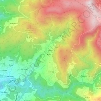
Name: Fuste topographic map, elevation, terrain.
Location: Fuste, Roge, Vale de Cambra, Aveiro, 3730-384, Portugal (40.84287 -8.35172 40.88287 -8.31172)
Average elevation: 604 m
Minimum elevation: 309 m
Maximum elevation: 937 m