
South Oxfordshire topographic map
Interactive map
Click on the map to display elevation.
About this map
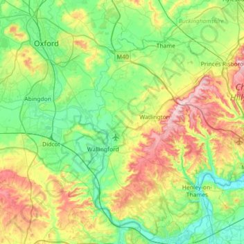
Name: South Oxfordshire topographic map, elevation, terrain.
Location: South Oxfordshire, Oxon, South East, Inghilterra, Regno Unito (51.45941 -1.29024 51.81377 -0.87007)
Average elevation: 97 m
Minimum elevation: 28 m
Maximum elevation: 261 m