
Thank you for supporting this site ❤️
Make a donation
Make a donation
Ridgeway topographic map
Click on the map to display elevation.
Thank you for supporting this site ❤️
Make a donation
Make a donation
About this map
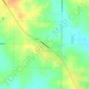
Name: Ridgeway topographic map, elevation, terrain.
Location: Ridgeway, Winneshiek County, Iowa, United States (43.29155 -92.00246 43.30584 -91.98235)
Average elevation: 364 m
Minimum elevation: 347 m
Maximum elevation: 386 m
Thank you for supporting this site ❤️
Make a donation
Make a donation