
Glenmore topographic map
Interactive map
Click on the map to display elevation.
About this map
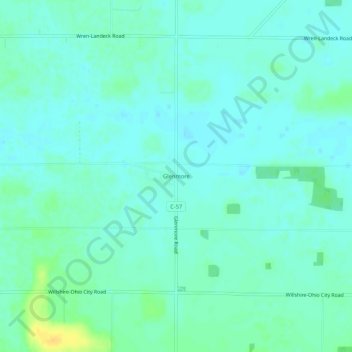
Name: Glenmore topographic map, elevation, terrain.
Location: Glenmore, Van Wert County, Ohio, United States (40.76477 -84.71829 40.80477 -84.67829)
Average elevation: 249 m
Minimum elevation: 243 m
Maximum elevation: 268 m