
Úcua topographic map
Interactive map
Click on the map to display elevation.
About this map
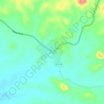
Name: Úcua topographic map, elevation, terrain.
Location: Úcua, Provinz Bengo, Angola (-8.66998 14.14036 -8.62998 14.18036)
Average elevation: 249 m
Minimum elevation: 214 m
Maximum elevation: 352 m