
Gouré topographic map
Interactive map
Click on the map to display elevation.
About this map
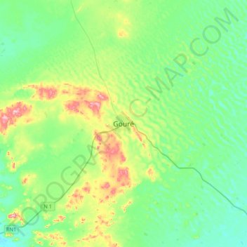
Name: Gouré topographic map, elevation, terrain.
Location: Gouré, Zinder, Niger (13.82619 10.10429 14.14619 10.42429)
Average elevation: 421 m
Minimum elevation: 370 m
Maximum elevation: 566 m