
Pannekoek topographic map
Interactive map
Click on the map to display elevation.
About this map
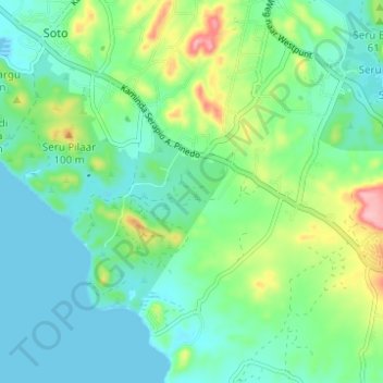
Name: Pannekoek topographic map, elevation, terrain.
Location: Pannekoek, Curaçao, Pays-Bas (12.22370 -69.11545 12.28402 -69.07114)
Average elevation: 37 m
Minimum elevation: 0 m
Maximum elevation: 137 m