
Kraai River topographic map
Interactive map
Click on the map to display elevation.
About this map
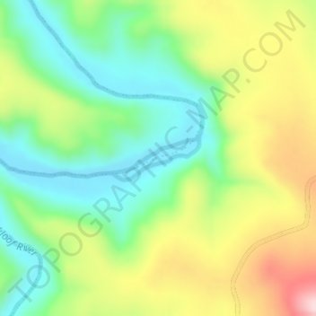
Name: Kraai River topographic map, elevation, terrain.
Average elevation: 1,747 m
Minimum elevation: 1,625 m
Maximum elevation: 1,941 m
Other topographic maps
Click on a map to view its topography, its elevation and its terrain.
Balloch Peak
RSA > Eastern Cape > Senqu Local Municipality
Balloch Peak, Senqu Local Municipality, Joe Gqabi District Municipality, Eastern Cape, RSA
Average elevation: 2,337 m