
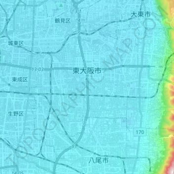
Higashiōsaka topographic map
Interactive map
Click on the map to display elevation.
About this map
Name: Higashiōsaka topographic map, elevation, terrain.
Location: Higashiōsaka, Prefectura de Osaka, Japón (34.63218 135.55701 34.70425 135.67875)
Average elevation: 22 m
Minimum elevation: 0 m
Maximum elevation: 456 m