
Estanzuela topographic map
Interactive map
Click on the map to display elevation.
About this map
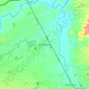
Name: Estanzuela topographic map, elevation, terrain.
Location: Estanzuela, Zacapa, Guatemala (14.95725 -89.61310 15.03725 -89.53310)
Average elevation: 199 m
Minimum elevation: 155 m
Maximum elevation: 340 m