
Katsushika topographic map
Interactive map
Click on the map to display elevation.
About this map
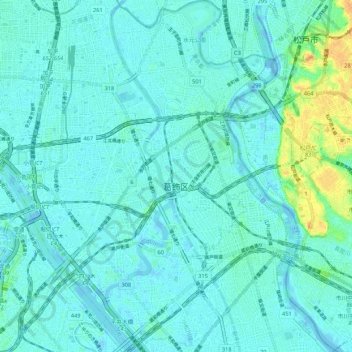
Name: Katsushika topographic map, elevation, terrain.
Location: Katsushika, Tokio, 関東地方, Japón (35.71087 139.81324 35.79713 139.89456)
Average elevation: 6 m
Minimum elevation: -8 m
Maximum elevation: 34 m
Other topographic maps
Click on a map to view its topography, its elevation and its terrain.