
Lemoor topographic map
Interactive map
Click on the map to display elevation.
About this map
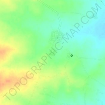
Name: Lemoor topographic map, elevation, terrain.
Location: Lemoor, Kandukur mandal, Rangareddy, Telangana, India (17.13643 78.51436 17.13850 78.51686)
Average elevation: 603 m
Minimum elevation: 584 m
Maximum elevation: 623 m