
Eastville topographic map
Interactive map
Click on the map to display elevation.
About this map
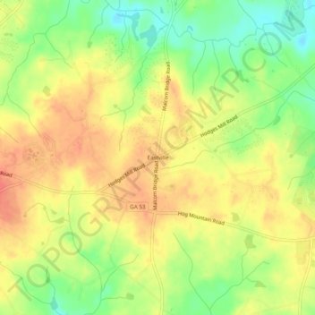
Name: Eastville topographic map, elevation, terrain.
Location: Eastville, Oconee County, Georgia, USA (33.85762 -83.52489 33.89762 -83.48489)
Average elevation: 238 m
Minimum elevation: 207 m
Maximum elevation: 261 m