
Leeupan topographic map
Interactive map
Click on the map to display elevation.
About this map
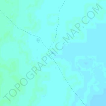
Name: Leeupan topographic map, elevation, terrain.
Location: Leeupan, Kavango East, Namibia (-18.72164 20.86047 -18.72107 20.86136)
Average elevation: 1,084 m
Minimum elevation: 1,082 m
Maximum elevation: 1,088 m
Other topographic maps
Click on a map to view its topography, its elevation and its terrain.