
Gaborone Dam topographic map
Interactive map
Click on the map to display elevation.
About this map
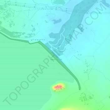
Name: Gaborone Dam topographic map, elevation, terrain.
Location: Gaborone Dam, Gaborone, South-East District, Botswana (-24.70819 25.90680 -24.69108 25.93386)
Average elevation: 992 m
Minimum elevation: 974 m
Maximum elevation: 1,062 m