
Thank you for supporting this site ❤️
Make a donation
Make a donation
Querfurt topographic map
Click on the map to display elevation.
Thank you for supporting this site ❤️
Make a donation
Make a donation
About this map
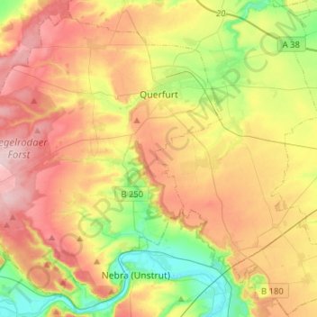
Name: Querfurt topographic map, elevation, terrain.
Location: Querfurt, Saalekreis, Saxony-Anhalt, 06268, Germany (51.27464 11.39304 51.41715 11.64855)
Average elevation: 201 m
Minimum elevation: 109 m
Maximum elevation: 298 m
Thank you for supporting this site ❤️
Make a donation
Make a donation
Other topographic maps
Click on a map to view its topography, its elevation and its terrain.