
Thank you for supporting this site ❤️
Make a donation
Make a donation
Modder River topographic map
Click on the map to display elevation.
Thank you for supporting this site ❤️
Make a donation
Make a donation
About this map
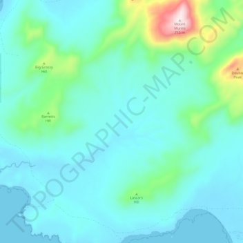
Name: Modder River topographic map, elevation, terrain.
Location: Modder River, Flinders Council, Tasmania, Australia (-40.42634 148.03069 -40.38896 148.14733)
Average elevation: 111 m
Minimum elevation: 0 m
Maximum elevation: 701 m
Thank you for supporting this site ❤️
Make a donation
Make a donation