
Thank you for supporting this site ❤️
Make a donation
Make a donation
Southborough topographic map
Click on the map to display elevation.
Thank you for supporting this site ❤️
Make a donation
Make a donation
About this map
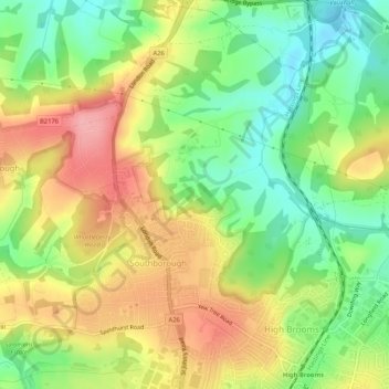
Name: Southborough topographic map, elevation, terrain.
Location: Southborough, Tunbridge Wells, Kent, England, United Kingdom (51.14829 0.23673 51.18019 0.28896)
Average elevation: 87 m
Minimum elevation: 33 m
Maximum elevation: 148 m
Thank you for supporting this site ❤️
Make a donation
Make a donation