
Thank you for supporting this site ❤️
Make a donation
Make a donation
Lovington topographic map
Click on the map to display elevation.
Thank you for supporting this site ❤️
Make a donation
Make a donation
About this map
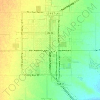
Name: Lovington topographic map, elevation, terrain.
Location: Lovington, Lea County, New Mexico, 88260, United States (32.91483 -103.37268 32.97378 -103.32898)
Average elevation: 1,194 m
Minimum elevation: 1,179 m
Maximum elevation: 1,206 m
Thank you for supporting this site ❤️
Make a donation
Make a donation
Other topographic maps
Click on a map to view its topography, its elevation and its terrain.