
Thank you for supporting this site ❤️
Make a donation
Make a donation
Meanook topographic map
Click on the map to display elevation.
Thank you for supporting this site ❤️
Make a donation
Make a donation
About this map
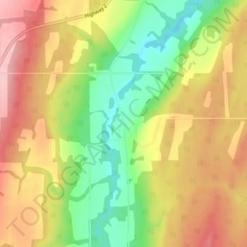
Name: Meanook topographic map, elevation, terrain.
Location: Meanook, Athabasca County, Alberta, Canada (54.55909 -113.34345 54.59909 -113.30345)
Average elevation: 623 m
Minimum elevation: 548 m
Maximum elevation: 698 m
Thank you for supporting this site ❤️
Make a donation
Make a donation
Other topographic maps
Click on a map to view its topography, its elevation and its terrain.