
Matsa topographic map
Interactive map
Click on the map to display elevation.
About this map
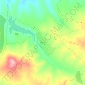
Name: Matsa topographic map, elevation, terrain.
Location: Matsa, Radnevo, Stara Zagora, Bulgaria (42.19670 26.14155 42.23670 26.18155)
Average elevation: 218 m
Minimum elevation: 144 m
Maximum elevation: 316 m