
Fort McDermott topographic map
Interactive map
Click on the map to display elevation.
About this map
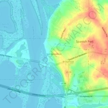
Name: Fort McDermott topographic map, elevation, terrain.
Average elevation: 18 m
Minimum elevation: -3 m
Maximum elevation: 63 m
Other topographic maps
Click on a map to view its topography, its elevation and its terrain.
Bridgehead
United States > Alabama > Baldwin County > Spanish Fort
Bridgehead, Spanish Fort, Baldwin County, Alabama, 36527, United States
Average elevation: 22 m