
Island Ohoi Tir topographic map
Interactive map
Click on the map to display elevation.
About this map
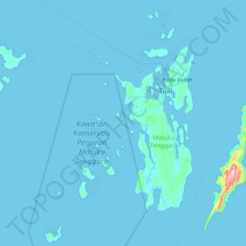
Name: Island Ohoi Tir topographic map, elevation, terrain.
Location: Island Ohoi Tir, Maluku, Indonesia (-6.04389 132.31181 -5.40389 132.95181)
Average elevation: 7 m
Minimum elevation: -1 m
Maximum elevation: 598 m
Other topographic maps
Click on a map to view its topography, its elevation and its terrain.