
Ceira topographic map
Interactive map
Click on the map to display elevation.
About this map
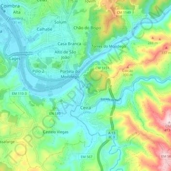
Name: Ceira topographic map, elevation, terrain.
Location: Ceira, Coïmbre, 3030-853, Portugal (40.15242 -8.39896 40.20848 -8.31290)
Average elevation: 126 m
Minimum elevation: 16 m
Maximum elevation: 414 m