
Lamayuru topographic map
Interactive map
Click on the map to display elevation.
About this map
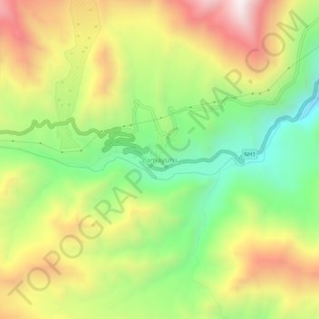
Name: Lamayuru topographic map, elevation, terrain.
Location: Lamayuru, Khaltsi, Distrito de Lé, Ladaque, Índia (34.26271 76.75396 34.30271 76.79396)
Average elevation: 3,691 m
Minimum elevation: 3,242 m
Maximum elevation: 4,228 m
Other topographic maps
Click on a map to view its topography, its elevation and its terrain.