
Rore topographic map
Interactive map
Click on the map to display elevation.
About this map
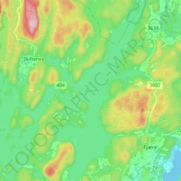
Name: Rore topographic map, elevation, terrain.
Location: Rore, Skiftenes, Grimstad, Agder, Norvège (58.35184 8.52001 58.41937 8.59239)
Average elevation: 68 m
Minimum elevation: 0 m
Maximum elevation: 220 m