
Sabi topographic map
Interactive map
Click on the map to display elevation.
About this map
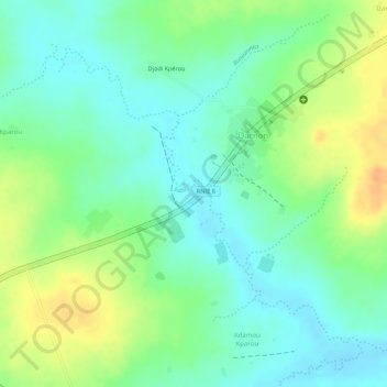
Name: Sabi topographic map, elevation, terrain.
Location: Sabi, N'Dali, Borgou, Benin (9.41311 2.70332 9.43396 2.72513)
Average elevation: 328 m
Minimum elevation: 311 m
Maximum elevation: 352 m
Other topographic maps
Click on a map to view its topography, its elevation and its terrain.