
Thank you for supporting this site ❤️
Make a donation
Make a donation
Altdöbern topographic map
Click on the map to display elevation.
Thank you for supporting this site ❤️
Make a donation
Make a donation
About this map
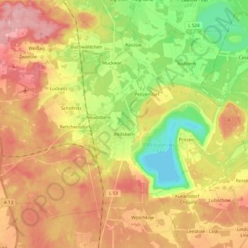
Name: Altdöbern topographic map, elevation, terrain.
Average elevation: 102 m
Minimum elevation: 40 m
Maximum elevation: 159 m
Thank you for supporting this site ❤️
Make a donation
Make a donation
Other topographic maps
Click on a map to view its topography, its elevation and its terrain.
Missen - Pšyne
Duitsland > Brandenburg > Oberspreewald-Lausitz - Górne Błota-Łužyca > Vetschau/Spreewald
Average elevation: 72 m