
Çamlıyurt topographic map
Interactive map
Click on the map to display elevation.
About this map
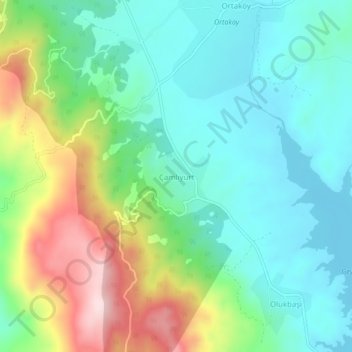
Name: Çamlıyurt topographic map, elevation, terrain.
Location: Çamlıyurt, Milas, Muğla, Aegean Region, Turkey (37.39028 27.83801 37.43028 27.87801)
Average elevation: 567 m
Minimum elevation: 466 m
Maximum elevation: 798 m