
Hallstead topographic map
Interactive map
Click on the map to display elevation.
About this map
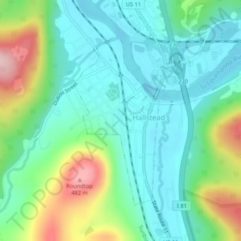
Name: Hallstead topographic map, elevation, terrain.
Location: Hallstead, Susquehanna County, Pennsylvania, United States (41.95139 -75.75439 41.97032 -75.74152)
Average elevation: 323 m
Minimum elevation: 256 m
Maximum elevation: 495 m