
Lumbrein topographic map
Interactive map
Click on the map to display elevation.
About this map
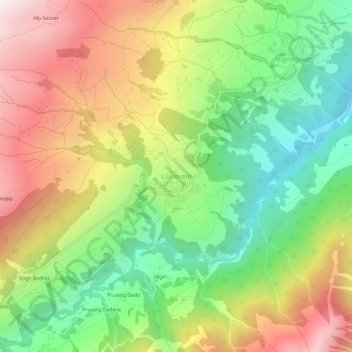
Name: Lumbrein topographic map, elevation, terrain.
Location: Lumbrein, Lumnezia, Surselva, Graubünden, 7148, Schweiz (46.66522 9.11696 46.70522 9.15696)
Average elevation: 1,467 m
Minimum elevation: 933 m
Maximum elevation: 2,126 m