
Thank you for supporting this site ❤️
Make a donation
Make a donation
Zuidbarge topographic map
Click on the map to display elevation.
Thank you for supporting this site ❤️
Make a donation
Make a donation
About this map
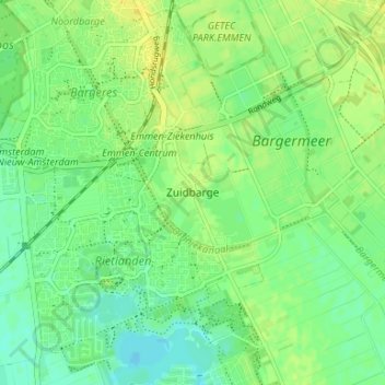
Name: Zuidbarge topographic map, elevation, terrain.
Location: Zuidbarge, Emmen, Drenthe, Netherlands, 7825 TS, Netherlands (52.73442 6.88323 52.77442 6.92323)
Average elevation: 20 m
Minimum elevation: 11 m
Maximum elevation: 28 m
Thank you for supporting this site ❤️
Make a donation
Make a donation