
Zarandas topographic map
Interactive map
Click on the map to display elevation.
About this map
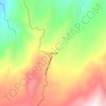
Name: Zarandas topographic map, elevation, terrain.
Location: Zarandas, Vélez, Santander, Colombia (6.10894 -73.71242 6.14894 -73.67242)
Average elevation: 1,723 m
Minimum elevation: 1,244 m
Maximum elevation: 2,198 m