
Thank you for supporting this site ❤️
Make a donation
Make a donation
Kautenbach topographic map
Click on the map to display elevation.
Thank you for supporting this site ❤️
Make a donation
Make a donation
About this map
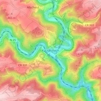
Name: Kautenbach topographic map, elevation, terrain.
Location: Kautenbach, Kiischpelt, Canton Wiltz, 9663, Luxembourg (49.93283 5.99809 49.97283 6.03809)
Average elevation: 380 m
Minimum elevation: 241 m
Maximum elevation: 496 m
Thank you for supporting this site ❤️
Make a donation
Make a donation