
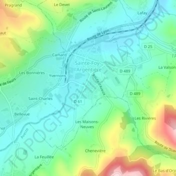
Sainte-Foy-l'Argentière topographic map
Interactive map
Click on the map to display elevation.
About this map
Name: Sainte-Foy-l'Argentière topographic map, elevation, terrain.
Average elevation: 486 m
Minimum elevation: 407 m
Maximum elevation: 689 m