
Thank you for supporting this site ❤️
Make a donation
Make a donation
Robins topographic map
Click on the map to display elevation.
Thank you for supporting this site ❤️
Make a donation
Make a donation
About this map
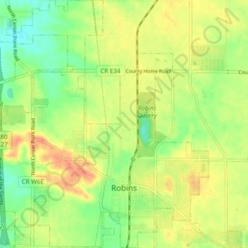
Name: Robins topographic map, elevation, terrain.
Location: Robins, Linn County, Iowa, 52328, United States (42.05869 -91.70177 42.10953 -91.64337)
Average elevation: 262 m
Minimum elevation: 239 m
Maximum elevation: 285 m
Thank you for supporting this site ❤️
Make a donation
Make a donation