
Akashima Island topographic map
Interactive map
Click on the map to display elevation.
About this map
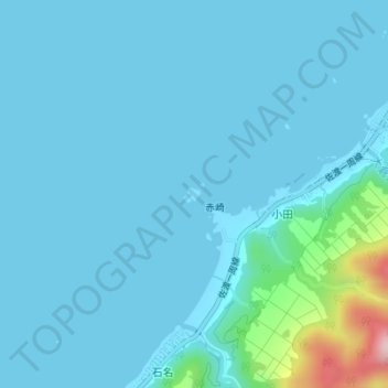
Name: Akashima Island topographic map, elevation, terrain.
Location: Akashima Island, Koda, Sado, Niigata Prefecture, Japan (38.22850 138.37241 38.22944 138.37363)
Average elevation: 26 m
Minimum elevation: 0 m
Maximum elevation: 281 m