
Barneveld topographic map
Interactive map
Click on the map to display elevation.
About this map
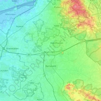
Name: Barneveld topographic map, elevation, terrain.
Location: Barneveld, Gueldre, Pays-Bas (52.10048 5.47243 52.24250 5.81193)
Average elevation: 15 m
Minimum elevation: -4 m
Maximum elevation: 66 m