
Wijk bij Duurstede topographic map
Interactive map
Click on the map to display elevation.
About this map
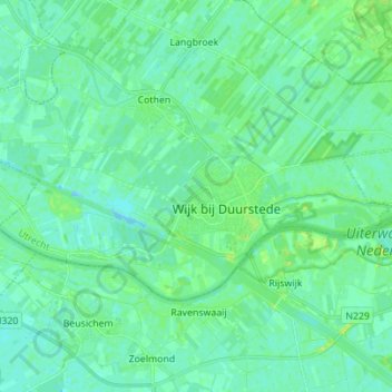
Name: Wijk bij Duurstede topographic map, elevation, terrain.
Location: Wijk bij Duurstede, Utrecht, Pays-Bas (51.95492 5.25627 52.00008 5.39495)
Average elevation: 5 m
Minimum elevation: -4 m
Maximum elevation: 15 m