
Marion County topographic map
Interactive map
Click on the map to display elevation.
About this map
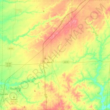
Name: Marion County topographic map, elevation, terrain.
Location: Marion County, Illinois, United States (38.47414 -89.14445 38.82630 -88.69516)
Average elevation: 163 m
Minimum elevation: 128 m
Maximum elevation: 200 m
Other topographic maps
Click on a map to view its topography, its elevation and its terrain.