
Katwe-Kikorongo Volcanic Field topographic map
Interactive map
Click on the map to display elevation.
About this map
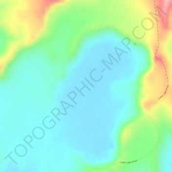
Name: Katwe-Kikorongo Volcanic Field topographic map, elevation, terrain.
Location: Katwe-Kikorongo Volcanic Field, Kasese, West-Region, Uganda (-0.09068 29.91820 -0.07068 29.93820)
Average elevation: 1,069 m
Minimum elevation: 1,026 m
Maximum elevation: 1,171 m