
Pontesford topographic map
Interactive map
Click on the map to display elevation.
About this map
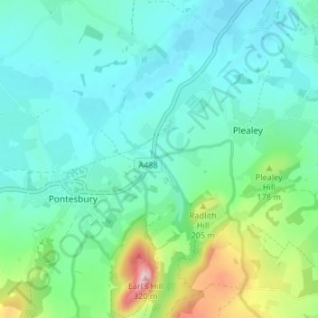
Name: Pontesford topographic map, elevation, terrain.
Average elevation: 132 m
Minimum elevation: 80 m
Maximum elevation: 317 m
Other topographic maps
Click on a map to view its topography, its elevation and its terrain.
Pontesbury
United Kingdom > England > Shropshire > Pontesbury
Pontesbury, Shropshire, England, United Kingdom
Average elevation: 146 m