
Thank you for supporting this site ❤️
Make a donation
Make a donation
Hirschberg topographic map
Click on the map to display elevation.
Thank you for supporting this site ❤️
Make a donation
Make a donation
About this map
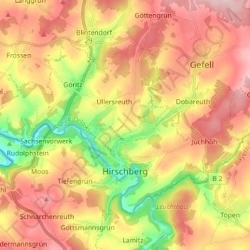
Name: Hirschberg topographic map, elevation, terrain.
Location: Hirschberg, Saale-Orla-Kreis, Thuringia, 07927, Germany (50.38972 11.74932 50.44675 11.87610)
Average elevation: 547 m
Minimum elevation: 421 m
Maximum elevation: 652 m
Thank you for supporting this site ❤️
Make a donation
Make a donation