
Thank you for supporting this site ❤️
Make a donation
Make a donation
Vondo topographic map
Click on the map to display elevation.
Thank you for supporting this site ❤️
Make a donation
Make a donation
About this map
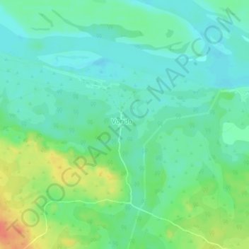
Name: Vondo topographic map, elevation, terrain.
Location: Vondo, Nord-Ubangi, Democratic Republic of the Congo (4.39549 20.89924 4.43549 20.93924)
Average elevation: 385 m
Minimum elevation: 370 m
Maximum elevation: 416 m
Thank you for supporting this site ❤️
Make a donation
Make a donation