
Murray Hill topographic map
Interactive map
Click on the map to display elevation.
About this map
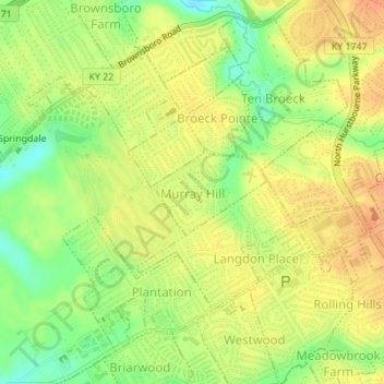
Name: Murray Hill topographic map, elevation, terrain.
Location: Murray Hill, Jefferson County, Kentucky, USA (38.28738 -85.59157 38.29353 -85.58158)
Average elevation: 194 m
Minimum elevation: 171 m
Maximum elevation: 209 m