
Fruit Cove topographic map
Interactive map
Click on the map to display elevation.
About this map
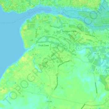
Name: Fruit Cove topographic map, elevation, terrain.
Location: Fruit Cove, Saint Johns County, Florida, United States (30.05494 -81.66937 30.13078 -81.55567)
Average elevation: 6 m
Minimum elevation: -2 m
Maximum elevation: 16 m